First Steps Tutorial
This is an easy to follow tutorial that gets you up to speed with ecmwf-geomaps to visualise meteorological data. It assumes you have basic Python programming knowledge.
So, let’s start with plotting a simple map:
from ecmwf.geomaps import GeoMap

geomap = GeoMap(area_name="europe")
geomap.coastlines(land_colour="grey")
geomap.show()
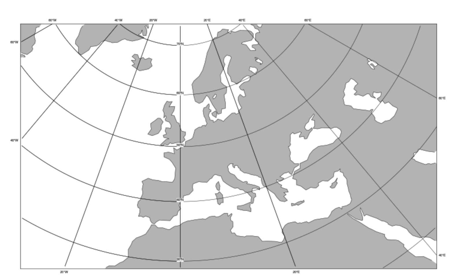
You can choose from a list of predefined areas.